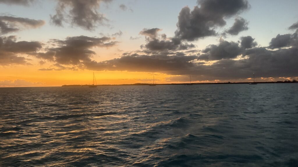
A new island lay before us, 70 miles long and 4 miles wide, mostly. We had read that there was a car rental near the dinghy dock named Seaside Car Rental. We called the listed number but there was no answer. Then I saw some review where someone had reached them on a new number, a cell number. I texted on that and got an answer. We could meet them around 10 am.
We loaded up the dinghy and headed to the dock.
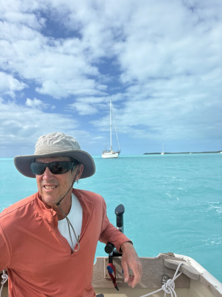
We soon learned that the dock was disabled by hurricane Melissa in October. The posts were there but no planks on top. There were some posts driven into the nearby rocks and a dinghy was tied there. We did the same and climbed up on the rocks. There was a road but a white dog was standing in the middle of it so we took a path instead.
The path led to a house with another dog barking but we kept walking and came to the car rental. The house and the dog and the car rental all belonged together.
We rented the car and then there was the problem of the dinghy. We could not let it stay by the rocks all day. Someone suggested we could leave it at a business called Tiny’s down the harbor. We decided to drive there and check it out.
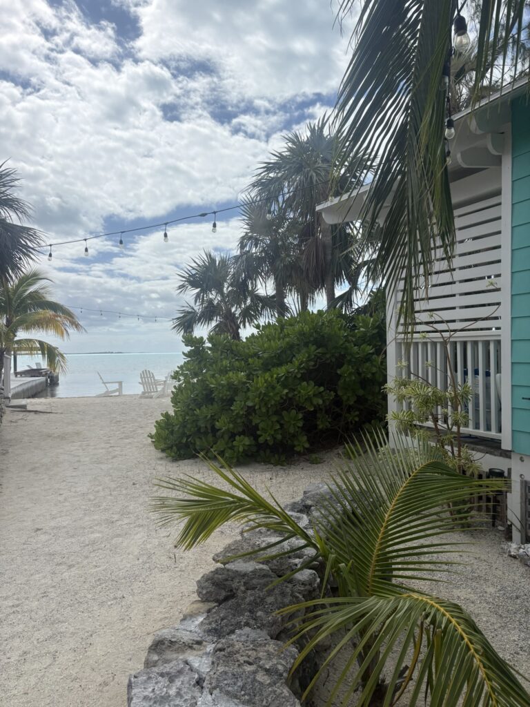
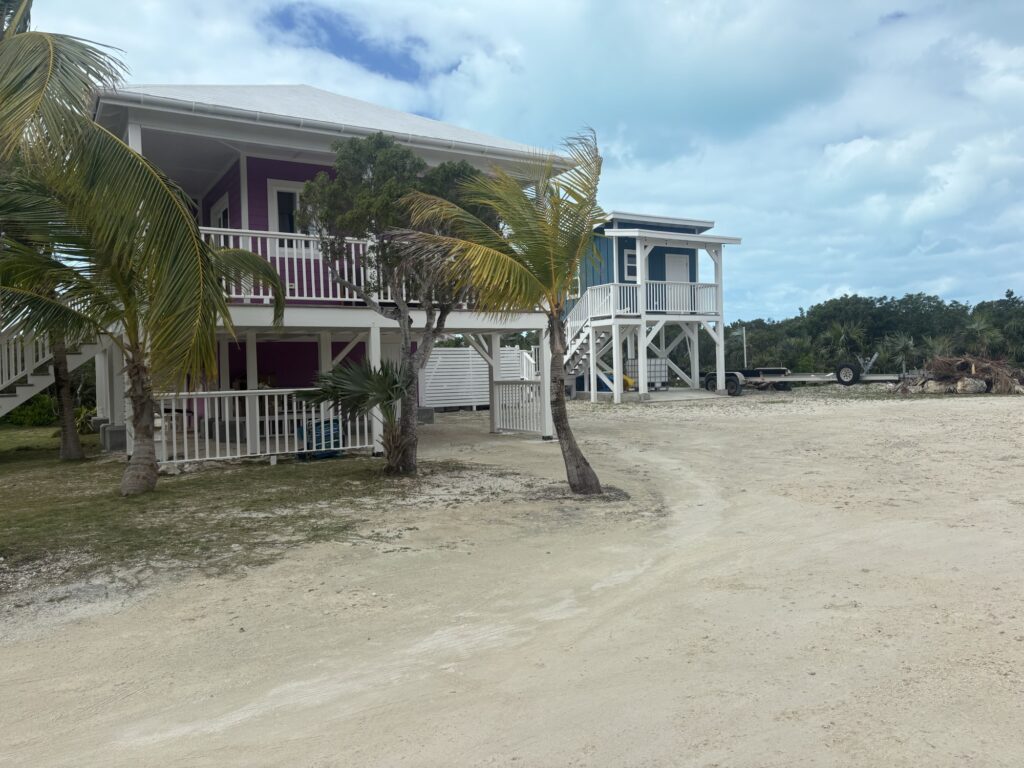
Tiny’s was a resort down the Queen’s highway a bit on the south side of the harbour. Their restaurant is closed on mondays and tuesdays but we met a woman who works there who said it would be fine for us to leave the dinghy there for the day. Her name was Petra and she was very nice. Tiny’s was very cute with several little houses for rent.
We had seen some other boaters go to the beach near the anchorage. We drove along the road . Petra had said there was a bush path from the road to the beach. She did not recommend it due to lizards and rocks but we were used to those.
We drove slowly and found the path, marked in the usual cruiser way with a buoy and a piece of rope. We walked down and ended up on the beach. There was a nice sandy area to leave Fat Tuesday for the day which was becoming a half day. We drove back to the car place and David brought the dinghy over while I drove the car to the path. Once I was on the beach, I found a shorter and less rocky path back to the main road. This would help us bring water and supplies to the dinghy later.
We set out. The roads are much better than Cat Island though there are still some potholes. Carol at the car rental said the south roads were better so we headed south.
There was so much to see, caves, ruins, a museum, Clarence Town and of course Dean’s Blue Hole. Carol also told us about a shrimp hole, a cave that is tidal where shrimp congregate.A woman Beverly from S/V Breeze On told us that the tourism office had good maps so we stopped there and got some.
Our next stop was the gas station/fuel dock to find out about water. They sell water there but when the attendant realized we had the car, he told us of a place that had free good water whereas he would have to charge twenty cents a gallon. Everyone we met was super nice. The gas station had excellent pastries and we shared a cinnamon bun.
Our first stop on our tour was the shrimp hole. There was a nice sign and a path that was well marked. It took us past the ruins of an old Spanish church.
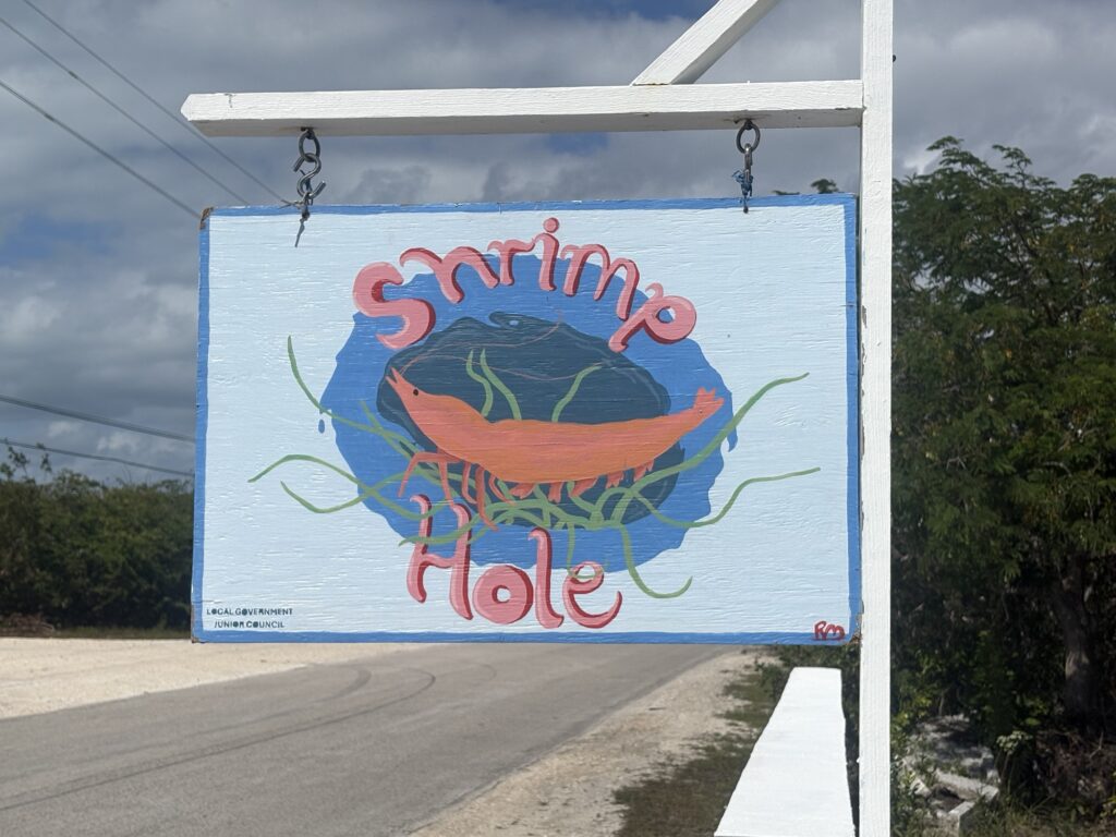
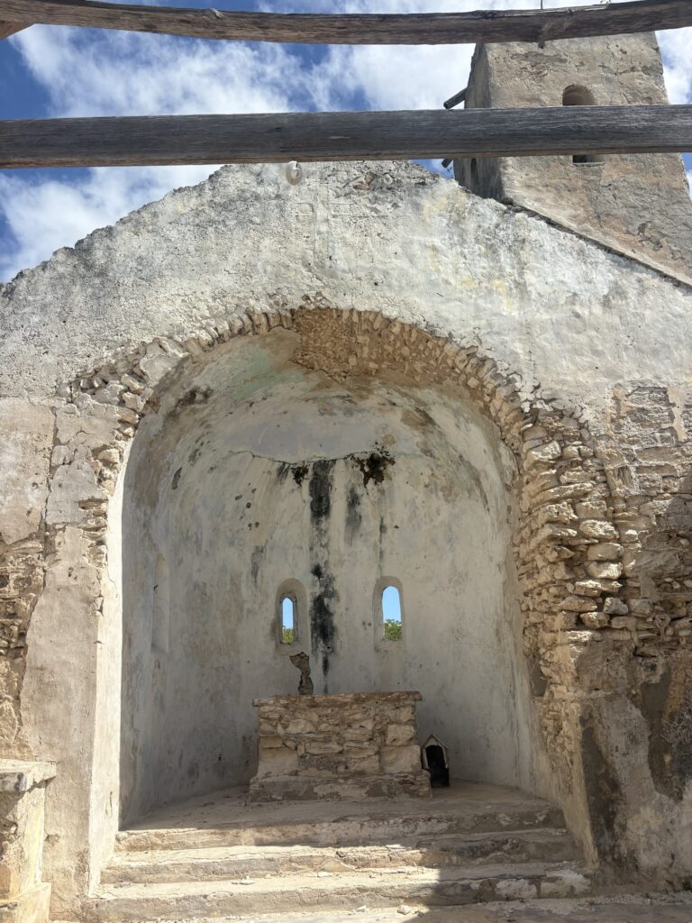
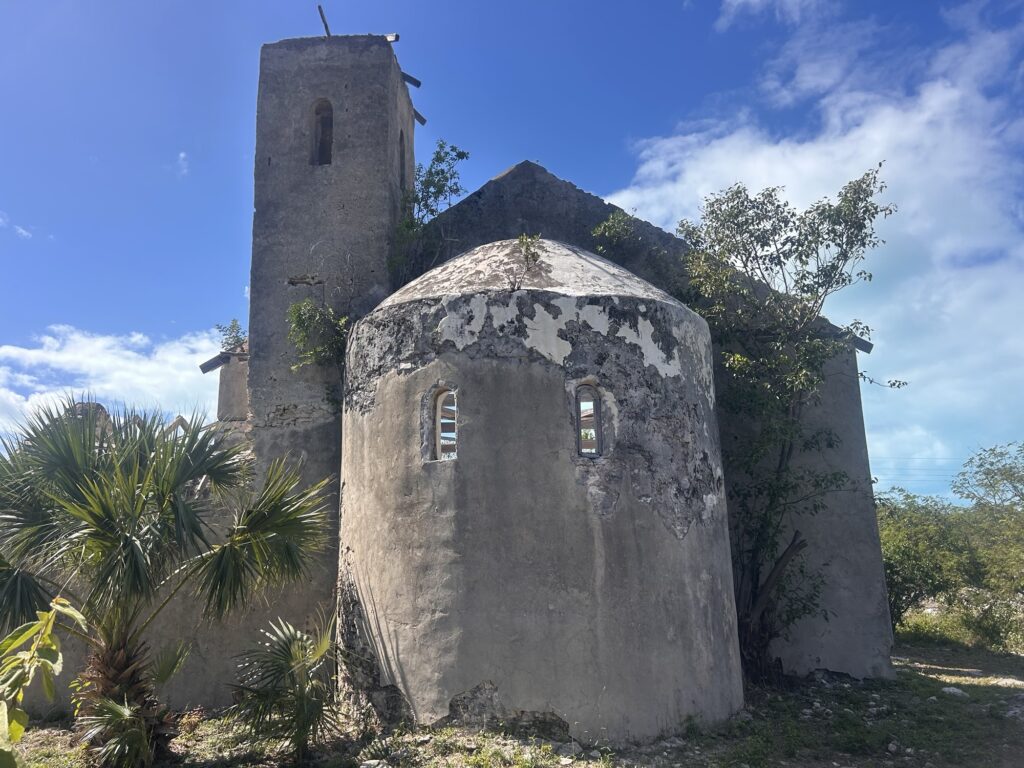
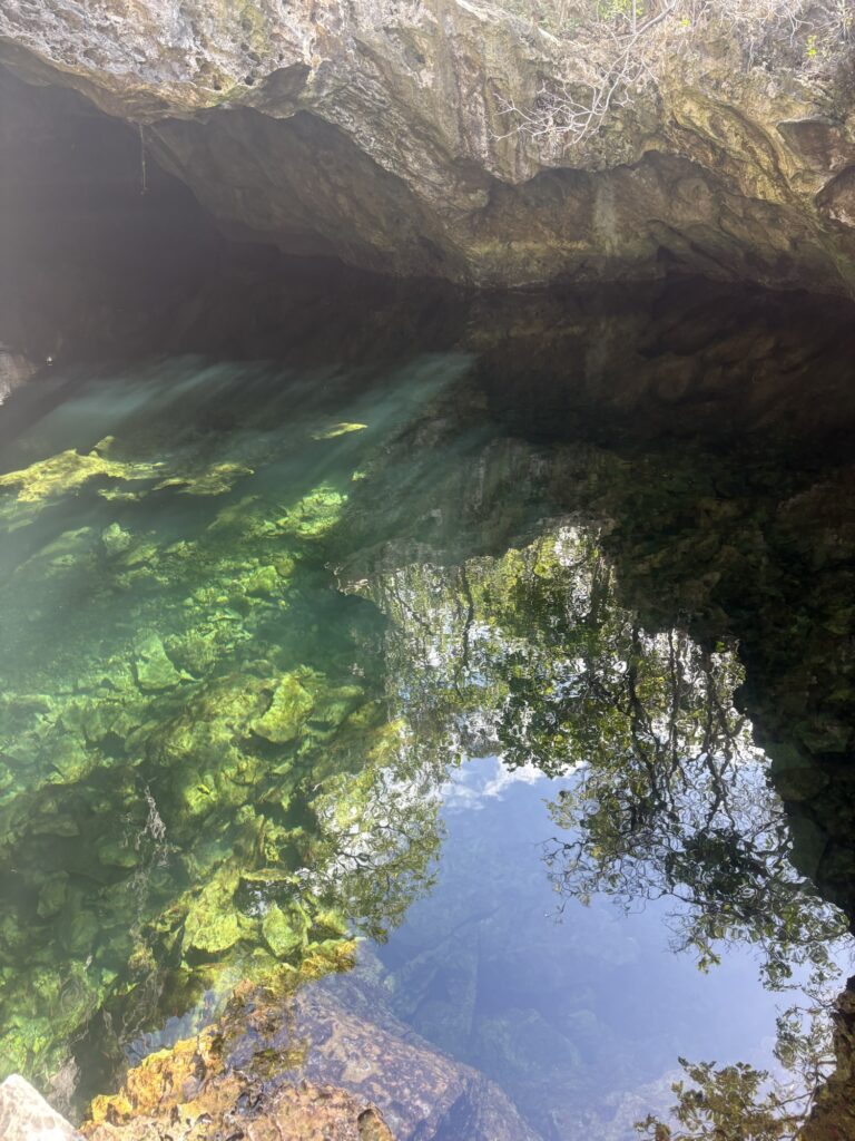
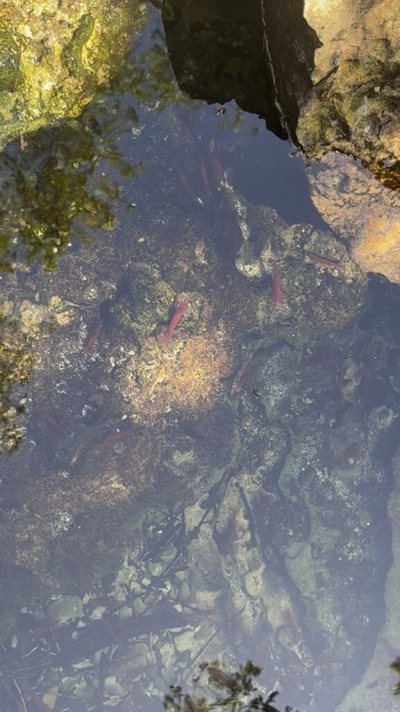
We came to a hole in the ground in a cave that was nowhere near the water. We looked down and sure enough, these bright red shrimp were congregating. It was low tide so we did not go in the water. We learned later that it is fun to swim in there at high tide.
We stopped for lunch at Letti’s. This had been recommended by the ladies in the tourism office. It was a nice open air bar/restaurant. David had a quesadilla and I had some chicken. We met some people who live on the island. One of them built Tiny’s resort and owns that property. The other person was quite the character and had been living on the island in the winters for years.
Our time was running out due to our late start so we decided to prioritize Dean’s Blue Hole. This is a 667 foot hole in the ocean floor. The turn looked like we were entering private property but the road wound around to the beach. The hole and beach were spectacular. There are some memorials on the rocks to people who have lost their lives there.
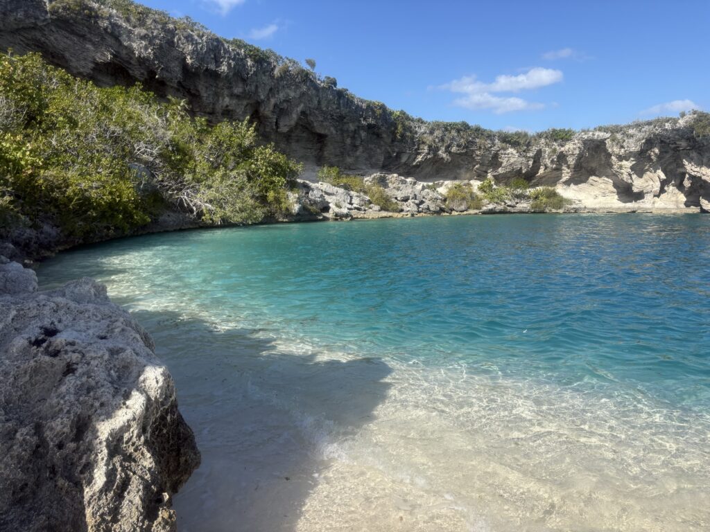
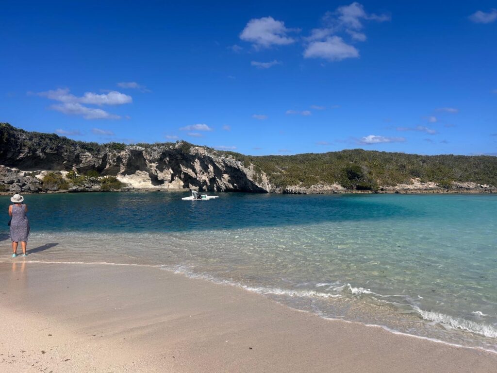
It is a big free diving spot and there is a raft in the middle anchored to the bottom. At another end is a rope going down. The divers follow the rope down and then back up. True free divers cannot use the rope to move up or down. There were two free divers there when we arrived as well as some women who live nearby who were enjoying the beach.
We changed and got our snorkel gear and went in. The wind had blown a lot of seaweed and debris into the area and it was stirred up a bit so visibility was not the greatest but there were fish, and before we went in the water, a turtle swam by. The hole is surrounded by the beach, a sandbar and a rock cove.
We could have stayed longer to explore the surrounding beaches but felt we should see more of the island. We drove up to Clarence Town, the capital. The marina there had some large deep sea fishing boats. There was a sailboat in the harbour. The channel to enter seemed really narrow with breakers all around. We did not see ourselves going there. There were two beautiful churches in Clarence Town but we were worried about getting back to the boat before dark so we did not visit them.
We parked the car for the night across from the trail to the beach and dinghied back to the boat before sunset. It was a great day but there is much more to explore. We have the car again tomorrow. David did well driving and dodging potholes on the left side of the road but it was stressful. It was good to relax on the boat.