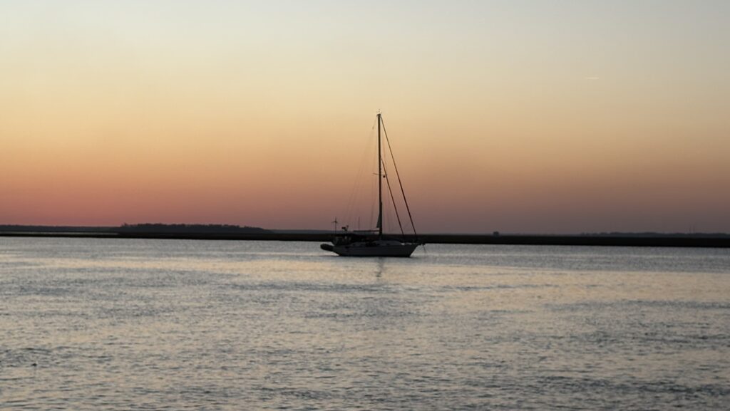
There is an opportunity to move north to Charleston on Monday. This bypasses Georgia and saves us miles. Unfortunately, it also bypasses St. Simons Island where we had such a great time with Steve and Christina on the way down. We also missed seeing Grace and family in North Florida as our time there was so short. The weather is only providing us so many opportunities, so we feel we have to take them to get back to Virginia by the end of April.
We left St. Augustine at dawn and headed north on the waterway. The city is so beautiful.
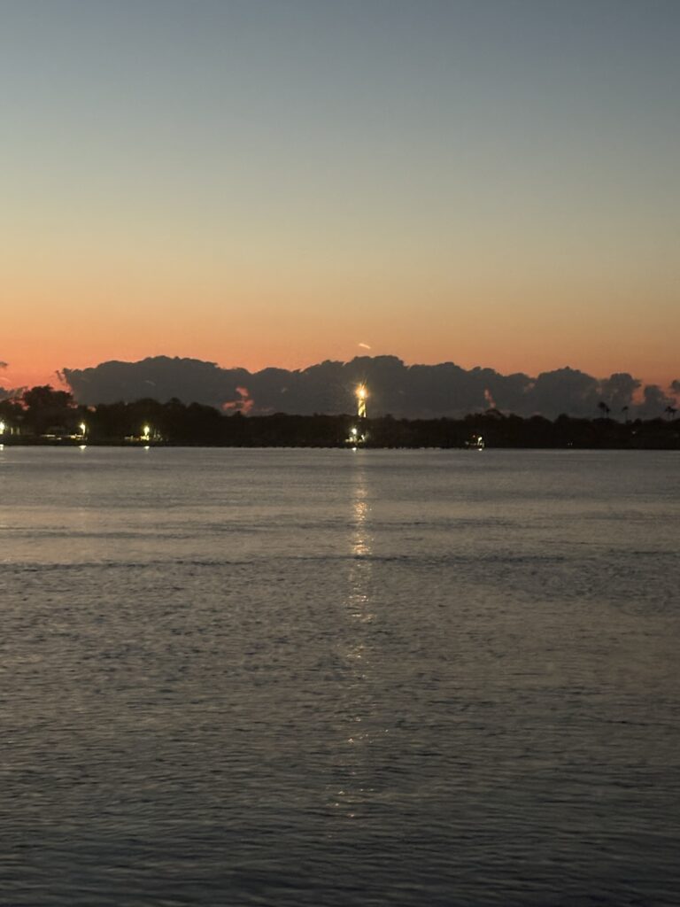
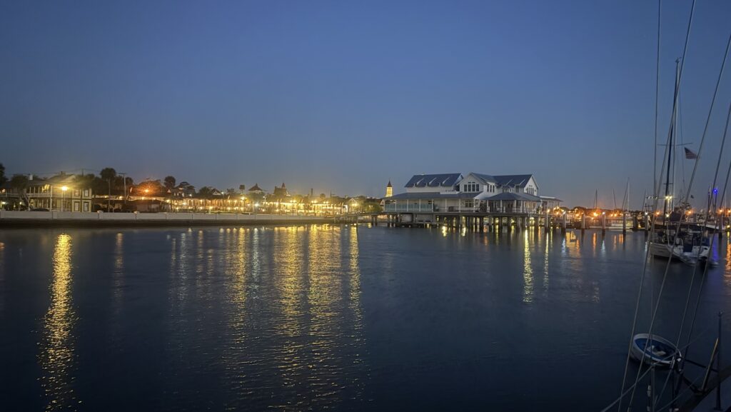
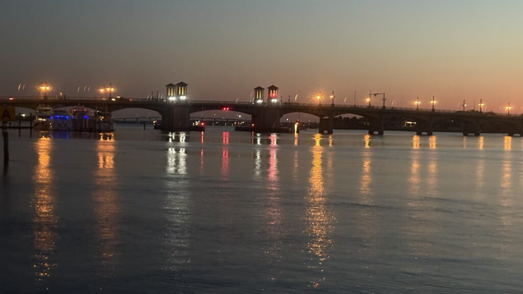
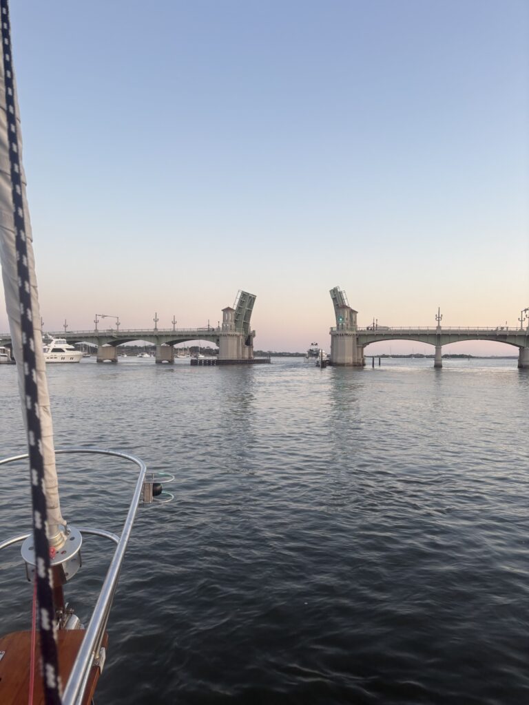
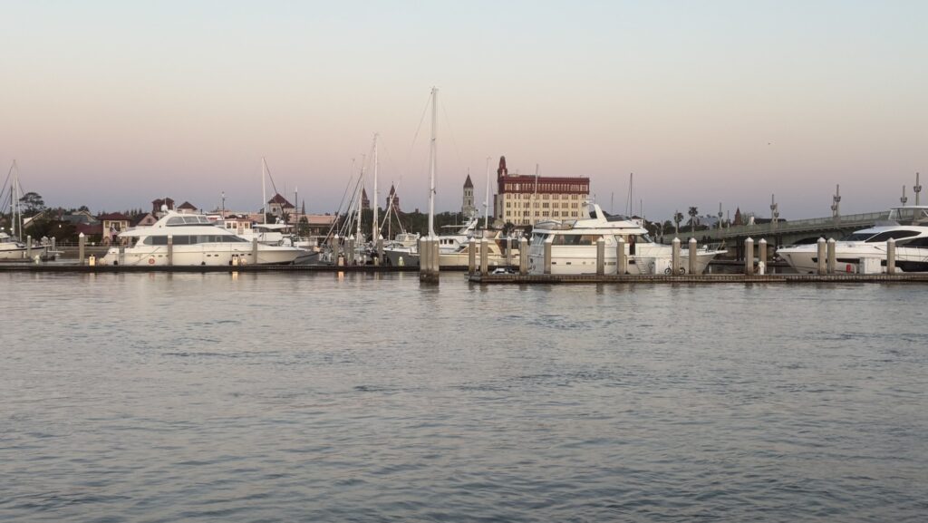
The area just north on the Mantanzas river is a wildlife refuge area with parks and small beaches opening into a beautiful marsh that reminds me of the barrier island marshes of home.
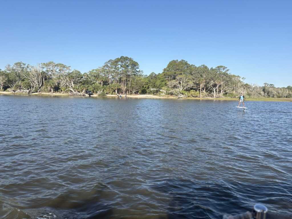
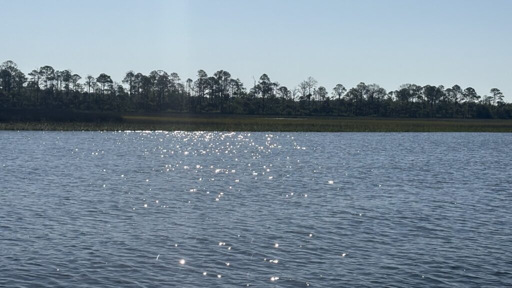
Next the waterway passes an area with homes on the east bank with towering live oaks and Spanish moss. Both of these stretches were fairly easy but there were many boats traveling and lots of passing going on. Most boats in this area were considerate and asked to pass and tried to minimize wake.
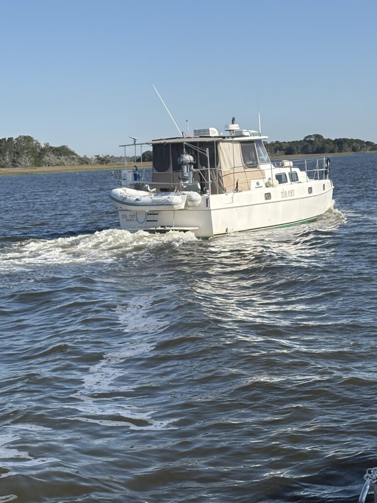
Later as we got closer to the Jacksonville area, the tide was going out, the channel was narrow and more winding and it was a Sunday afternoon with many power boaters and jet skis dashing about. The current was against us at this time and we could only move about 4 knots against it. This is slow enough so that the iPad gps that has our icw tracks on the chart would freeze intermittently. This was nerve racking. Sometimes the track takes you to one side of the channel or the other to find the deepest water.
When we passed the inlet, the current switched directions and the only thing we had to worry about was the sun on the iPad which we fixed by making a sun shade with our small cutting board. Jeffrey found a more permanent solution for this problem but we could not order it in time for our fall departure. It is on the list. We were finally moving fast enough to keep our track and moved along nicely with the current.
The area around Fernandina has a 5-6 foot tide and the full moon made it a little over 6 feet. You could see the mud bars on either side of us. We wound around to the last bridges, a double fixed span and a railroad bridge.
The guide book was not so reassuring. It said that the railroad bridge had no schedule, no tender to contact and would swing out as a train approached. We were told to listen for train whistles and not approach the three bridges if we heard them. We listened hard, not sure if we would even hear them with the wind and the motor.
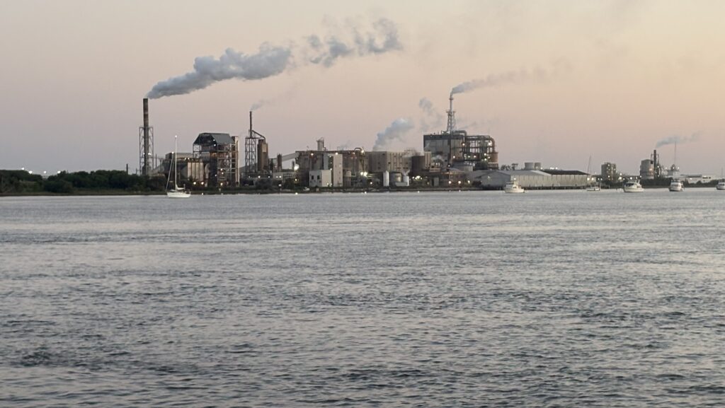
We crossed into the wider harbor and passed the factory that was going full power on the Sunday afternoon. We approached the fuel dock of the marina and tied up to top off our diesel. There was one mooring ball left in the north mooring field and we grabbed it. We had 20 feet of water under us at low tide. Fernandina is where we ran aground at the marina and got mud in our heat system on the way south so we have a little trauma about this place.
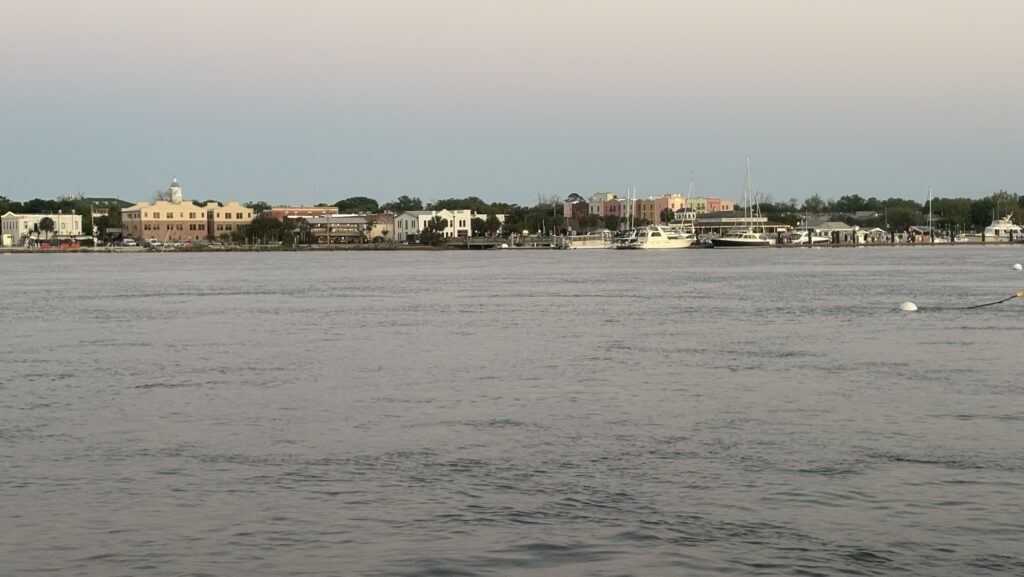
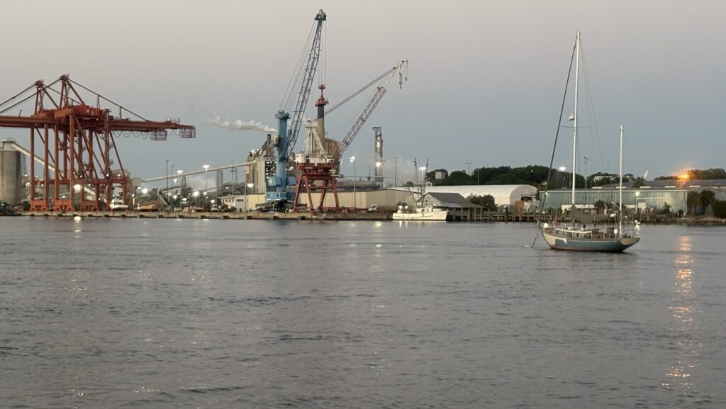
We stayed on the boat, ate dinner and studied our route for tomorrow.